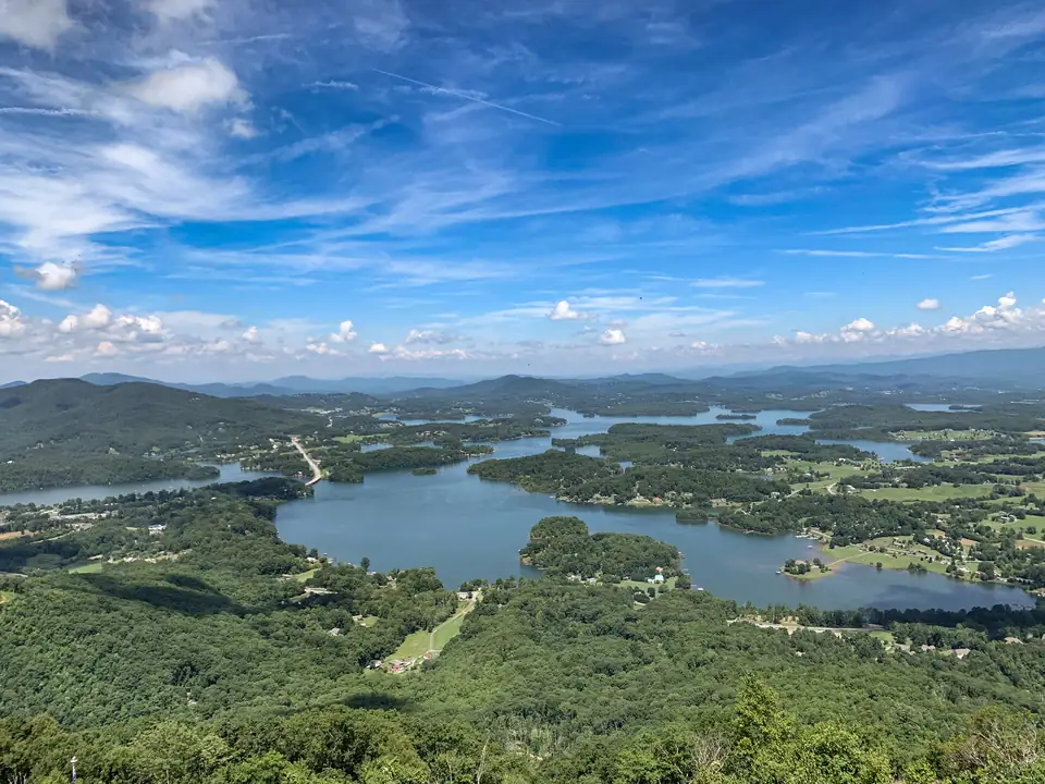
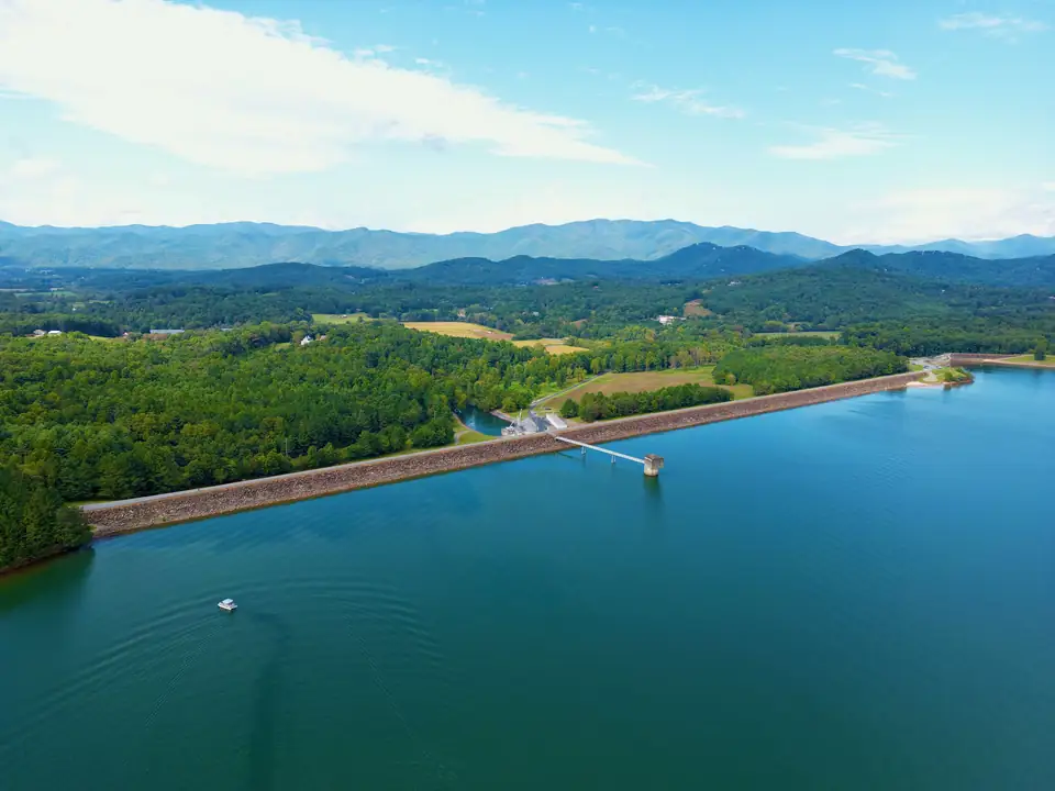
Lake Chatuge is a TVA flood-control lake. TVA started Chatuge Dam on the Hiwassee River in 1941 and finished it in 1942 (TVA). The dam is in Clay County, North Carolina, three miles southeast of Hayesville and two miles north of the Georgia line, and the water it holds back reaches south into Towns County, Georgia.
Timeline
| When | What happened | Source |
|---|---|---|
| 1700s | A Cherokee village stands near the future dam site. The project later takes its name | NRHP nomination (NPS) |
| 1861 | Clay County, North Carolina, is incorporated | Clay County NC |
| 1886 | Young Harris College opens as the McTyeire Institute | Young Harris College |
| March 12, 1913 | The Town of Hayesville is incorporated | Town of Hayesville |
| 1941 to 1942 | TVA builds Chatuge Dam | TVA |
| 1954 | One hydropower unit is added | TVA |
| May 17, 1956 | Hiawassee, Georgia, is incorporated | City of Hiawassee |
| Aug. 11, 2017 | The Chatuge Hydroelectric Project is listed on the National Register of Historic Places | NRHP nomination (NPS) |
| December 2023 | TVA begins extra spillway inspections and repairs | Federal Register (TVA, 2025) |
Why TVA built Chatuge
TVA says Chatuge was originally built to store water and reduce flood damage downstream. Power came later. Today TVA runs it for flood damage reduction, power generation and extra downstream flow for navigation. That flood job is why the lake still drops about 10 feet each winter. Below the dam, the Hiwassee River flows north and west through North Carolina to meet the Tennessee River in Meigs County, Tennessee (NRHP nomination (NPS)).
What the dam is made of
Chatuge isn’t a concrete wall. It’s an embankment of rolled earth fill, with rock riprap on the lake side and grass on the downstream slope. The crest is 3,336 feet long and sits at elevation 1,940 feet. At its tallest the dam is 150 feet high, and it’s 980 feet wide at the base. On the east bank, a chute spillway narrows into a straight concrete channel 90 feet wide and 1,356 feet long.
Chatuge Dam is 150 feet high and stretches 3,336 feet across the Hiwassee River. (TVA, checked Oct 17, 2026)
A 16-foot road runs most of the length of the crest. The National Register nomination notes the public uses it as a walking trail, and it doubles as a maintenance road. It’s one of the best free things to do on the lake; see walking Chatuge Dam.
The 1954 power unit
For its first dozen years Chatuge only stored water. In 1954 TVA added a single generating unit with a summer net dependable capacity of 14 megawatts (TVA). Its Francis-type turbine was built that year by James Leffel and Company of Springfield, Ohio, according to the National Register nomination.
Where the name comes from
TVA says the reservoir is named for a nearby Cherokee settlement. The National Register nomination is a little more specific: an eighteenth-century Cherokee village that once stood near the project site. You’ll find translations of “Chatuge” online, but neither source gives one, so we don’t either.
The Cherokee past shows up in the towns too. Hayesville stands on the site of the former Cherokee town of Quanassee (Town of Hayesville). The City of Hiawassee says its own name comes from the Cherokee word Ayuhwasi, meaning “meadow.” Note the spelling: the town is Hiawassee and the river is the Hiwassee.
The two county seats
Hayesville, the Clay County seat, is named for George Hayes, and the county for Kentucky statesman Henry Clay. Hiawassee is the county seat of Towns County, Georgia, and sits right on the lake. Their stories are on Hayesville, NC and Hiawassee.
The next chapter
As of October 2026, TVA is studying how to fix the dam’s spillway. Its project page (updated January 16, 2026) expects a draft environmental study in fall or winter 2026 and construction between summer 2028 and fall 2029 (TVA). No alternative has been chosen. Follow it on the Chatuge Dam safety project page and see what it means for water levels on lake levels.
Dam Not yet confirmed
Chatuge Dam (TVA) and dam-crest walk, North Carolina
TVA's 1942 earth-fill dam, 150 ft high and 3,336 ft long, in Clay County, NC, about two miles north of the Georgia line. A road on the crest is used as a public walking trail, and Clay County's paved path from its Recreation Park continues across the dam. Listed on the NRHP in 2017.
- 221 Old Ranger Road, Hayesville, NC (Clay County, North Carolina), per NRHP nomination
Source: NC State Historic Preservation Office (NRHP), checked Oct 17, 2026
When was Chatuge Dam built?
Construction of Chatuge Dam began in 1941 and was completed in 1942.
Source: TVA, checked Oct 17, 2026
Why was Chatuge Dam built?
TVA says Chatuge was originally built to store water to help reduce flood damage downstream. A hydropower unit was added in 1954.
Source: TVA, checked Oct 17, 2026
Where does the name Chatuge come from?
TVA says the reservoir is named after a nearby Cherokee settlement. The National Register nomination describes it as an eighteenth-century Cherokee village near the project site.
Source: TVA, checked Oct 17, 2026
Is Chatuge Dam on the National Register of Historic Places?
Yes. The Chatuge Hydroelectric Project in Clay County, North Carolina, was listed on August 11, 2017.
Source: NRHP nomination (NPS), checked Oct 17, 2026
How big is Chatuge Dam?
TVA says the dam is 150 feet high and stretches 3,336 feet across the Hiwassee River.
Source: TVA, checked Oct 17, 2026