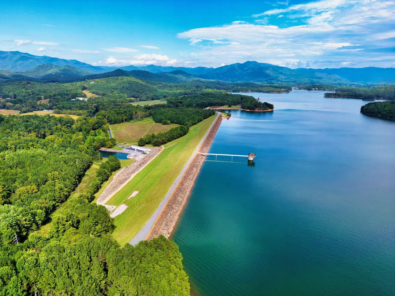
Yes, you can walk across Chatuge Dam. The dam’s National Register nomination describes a sixteen-foot-wide road along most of the embankment that the public uses as a walking trail, and that also serves as a maintenance road for the intake structure. Clay County adds that the paved path joining its Recreation Park and Gibson Cove campgrounds continues all the way across the dam.
The dam is in Clay County, North Carolina, three miles southeast of Hayesville and two miles north of the Georgia state line. If you are staying in Hiawassee or Young Harris in Towns County, Georgia, this walk is on the North Carolina end of the lake.
The numbers under your feet
| Feature | Figure | Source |
|---|---|---|
| Crest length | 3,336 feet | TVA |
| Maximum height | 150 feet | TVA |
| Maximum width at the base | 980 feet | National Register nomination |
| Top of the embankment | Elevation 1,940 feet | National Register nomination |
| Built | 1941 to 1942 | TVA |
| National Register listing | August 11, 2017 | National Register nomination |
At 3,336 feet, the crest is a little over six-tenths of a mile, so end to end and back is roughly 1.3 miles by our arithmetic. The walking road runs most of that length, not all of it.
The top of the embankment sits at 1,940 feet. TVA’s guide curve, described in the Federal Register, targets 1,926 feet around Memorial Day and 1,915 feet in mid-February. That puts the lake surface roughly 14 feet below the crest at the summer target and about 25 feet below it in late winter. Those are targets, not readings, so check TVA’s lake-level page for the day you go.
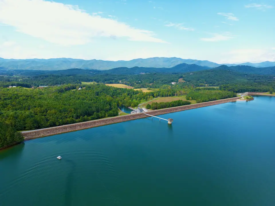
What you see from the crest
The dam is rolled earth fill, not a concrete wall, which is why it reads as a long grassy ridge. On the lake side, the upstream face is covered in riprap, the loose rock that protects the slope from waves. On the other side, the downstream slope is grass, falling away toward the Hiwassee River.
The intake structure that the crest road serves is where water enters the dam’s power works. TVA added a single hydropower unit in 1954, with a summer net dependable capacity of 14 megawatts. The National Register nomination notes that its Francis-type turbine was made that year by James Leffel and Company of Springfield, Ohio. Today TVA operates the dam for flood damage reduction, power generation and downstream flows for navigation, among other purposes.
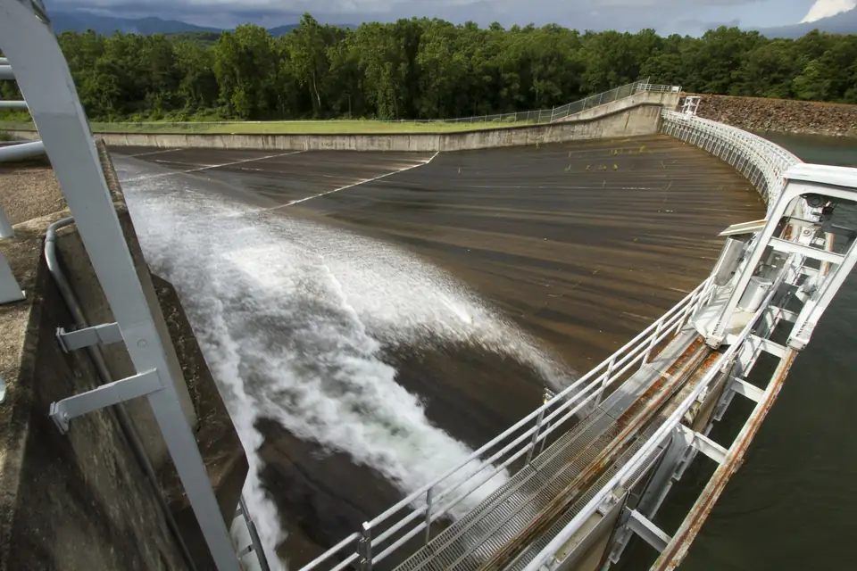
The spillway is on the east bank. It is a chute that narrows into a straight concrete channel 90 feet wide and 1,356 feet long, and it is the subject of TVA’s current dam safety study. As of October 2026, TVA has not chosen a fix and no project drawdown is under way. Our dam safety project explainer has TVA’s timeline.
Below the dam: the weir and the tailwater
TVA installed a concrete weir below the dam to keep a steady flow in the riverbed and raise oxygen levels for fish. TVA says wade fishing for trout is popular there because fish gather at the weir, where food is plentiful. Remember which state you are in: from the bank below the dam, you need a North Carolina license. Our fishing guide explains the two-state license rules.
TVA warns that release schedules below the dam can change without notice and large amounts of water could be discharged at any time. (TVA, checked Oct 17, 2026)
If you go down to the river, keep that warning in mind and keep an eye on the water. A calm riverbed can change quickly.
A little history while you walk
TVA began building Chatuge Dam in 1941 and finished it in 1942, originally to store water and cut flood damage downstream. The name is older than the dam. The National Register nomination says the project takes its name from an eighteenth-century Cherokee village that once stood near the site, and TVA says the reservoir is named after a nearby Cherokee settlement. Neither source gives a translation, so be wary of anyone who offers one.
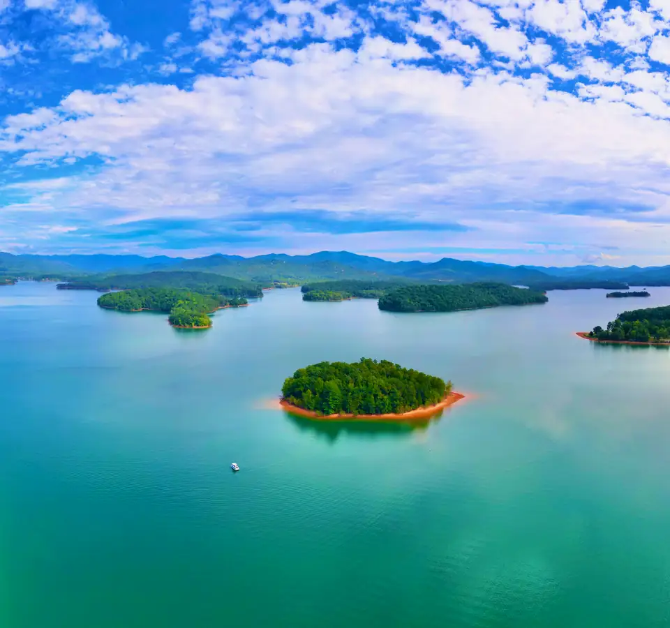
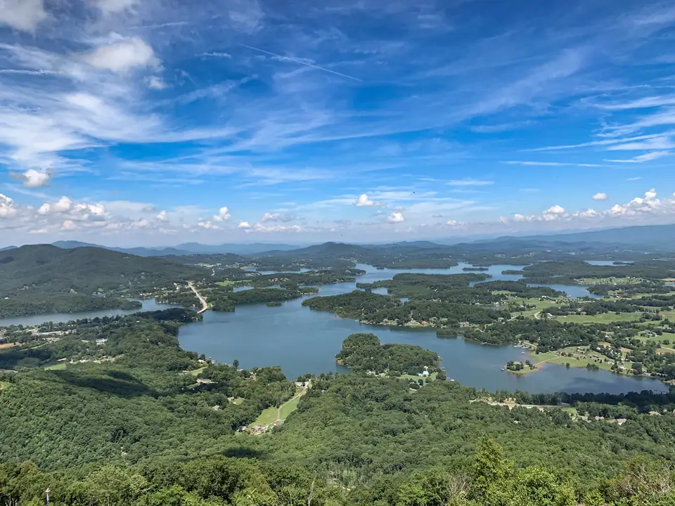
From the crest, the lake stretches away from you for thirteen miles south along the Hiwassee River into Towns County, Georgia, with a six-mile arm running east up Shooting Creek. Behind you, the Hiwassee flows north and west through North Carolina and eventually joins the Tennessee River in Meigs County, Tennessee. The dam was listed on the National Register of Historic Places in 2017. Our Lake Chatuge history page tells the longer story.
Pair it with Clay County’s lakeside park
The paved path makes the dam easy to combine with Clay County’s park on the lake. Clay County Recreation Park, at 47 Clay Recreation Park Rd in Hayesville, has a beach swimming area on Lake Chatuge next to its playground and picnic area. One of Clay County’s public boat ramps sits between the Gibson Cove and Recreation Park campgrounds, so a swim, a launch and a walk can all start from the same place.
Both campgrounds are run by the county, and its campground site was taking 2027 campsite lottery applications when we checked in October 2026. Our camping guide compares them with the other campgrounds on both shores, and our beaches and swimming page lists the public swim areas.
Parking and access
We did not find a published parking rule for walkers who are not camping. The National Register nomination gives the dam’s address as 221 Old Ranger Road, Hayesville. Before you go, call Clay County’s campground office at 828-557-6788 to ask where day visitors should park, and follow any TVA signs at the dam.
When to go
The dam shows the lake’s seasonal swing better than anywhere else on the shore. In a year with normal rainfall, TVA lets the level vary about 10 feet between summer and winter to make room for flood storage, so more of the riprap face shows in winter than in summer. A late-spring walk, near the Memorial Day high point, shows the lake at its fullest target. For the rest of the North Carolina shore, see our Hayesville guide.
Questions about walking Chatuge Dam
Can you walk across Chatuge Dam?
Yes. The dam's National Register nomination describes a sixteen-foot-wide road along most of the embankment that the public uses as a walking trail. It also serves as a maintenance road for the intake structure.
Source: National Register nomination, checked Oct 17, 2026
Where does the paved path to Chatuge Dam start?
Clay County says a paved walking path joins its Recreation Park and Gibson Cove campgrounds in Hayesville, North Carolina, and continues all the way across Chatuge Dam.
Source: Clay County, checked Oct 17, 2026
How long is Chatuge Dam?
TVA says Chatuge Dam is 150 feet high and stretches 3,336 feet across the Hiwassee River, a little over six-tenths of a mile.
Source: TVA, checked Oct 17, 2026
Can you fish below Chatuge Dam?
TVA says wade fishing for trout is popular below the dam, where a concrete weir draws fish. TVA also warns that release schedules can change without notice and large amounts of water could be discharged at any time.
Source: TVA, checked Oct 17, 2026
Written by the Visit Lake Chatuge Editorial Team. AI tools help us draft; people check every fact before it publishes.