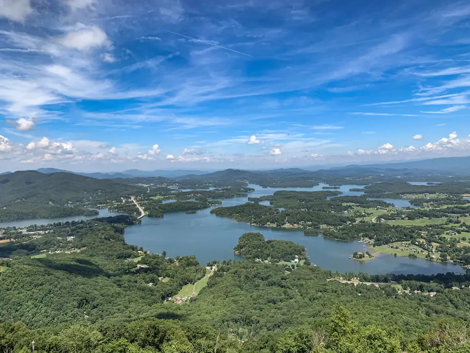
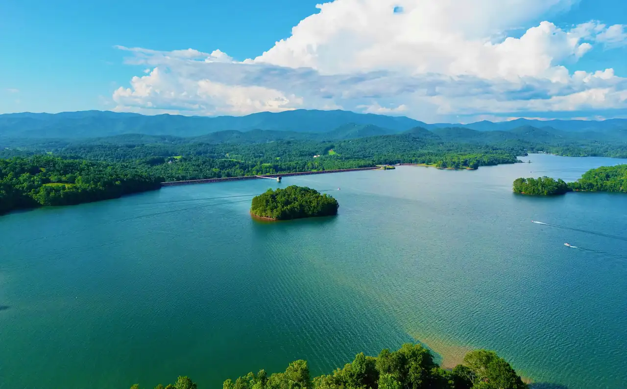
Lake Chatuge sits right on the Georgia and North Carolina line. The south end is Towns County, Georgia, around Hiawassee and Young Harris. The north end is Clay County, North Carolina, where Chatuge Dam holds back the Hiwassee River about two miles north of the state line (NRHP nomination). The map below pins the public places to launch, swim, camp and walk on both shores.
Shoreline and islands from OpenStreetMap; dotted lines are the main highways (US 76, NC 175, GA 288). Chatuge Dam is at the north end, in North Carolina. A guide, not a navigation chart: check depths, buoys and no-wake zones on the water.
-
Resort-owned marina that rents jet skis and pontoons on Lake Chatuge.
Source: The Ridges Resort, checked Oct 17, 2026 · Open in a map
-
30-acre county campground directly on Lake Chatuge with water and electric at each site, two bath houses and an adjacent public boat ramp.
Map pin is approximate: it marks the access road, not the campground gate.
Season: April through October
Fees: $175/week off-water sites, $210/week on-water sites (short-term); seasonal $1,750-$2,100
Source: Towns County, GA, checked Nov 4, 2026 · Open in a map
-
One of Clay County's public boat ramps, between the Gibson Cove and Recreation Park campgrounds near Chatuge Dam.
Source: Clay County, NC, checked Nov 4, 2026 · Open in a map
-
Family-owned since 1972, offering boat rentals, sales, service, storage and on-dock fuel.
Source: Lake Chatuge Marine, checked Oct 17, 2026 · Open in a map
-
County-run lakeside campgrounds (Recreation Park and Gibson Cove) with a beach swimming area, pavilions, a public boat ramp between the two campgrounds, and a paved path that continues across Chatuge Dam. The county site is taking 2027 campsite lottery applications.
Source: Clay County, NC, checked Nov 4, 2026 · Open in a map
-
TVA's 1942 earth-fill dam, 150 ft high and 3,336 ft long, in Clay County, NC, about two miles north of the Georgia line. A road on the crest is used as a public walking trail, and Clay County's paved path from its Recreation Park continues across the dam. Listed on the NRHP in 2017.
Source: NC State Historic Preservation Office (NRHP), checked Oct 17, 2026 · Open in a map
-
Forest Service day-use site in Georgia with motorized boat access and day hikes. There is no potable water, so bring your own.
Fees: Free (per USFS page)
Source: US Forest Service, checked Nov 4, 2026 · Open in a map
-
Lakeside fairgrounds in Hiawassee that calls itself the Country Music Capital of Georgia. It hosts the Georgia Mountain Fair and Fall Festival, concerts at Anderson Music Hall and holiday light shows. The 2026 and 2027 calendar is posted.
Season: Year-round events
Source: Georgia Mountain Fairgrounds, checked Oct 17, 2026 · Open in a map
-
207 campsites on the shores of Lake Chatuge, open year-round.
Season: Year-round
Source: Georgia Mountain Fairgrounds, checked Oct 17, 2026 · Open in a map
-
Gardens on the fairgrounds with over 400 rhododendron varieties (3,000 plants), more than 40 wooded acres, and easy 1- and 2-mile trail loops with Lake Chatuge views.
Season: Year-round; bloom season early April into May
Fees: $5 per person (fairgrounds gallery page, undated)
Source: Georgia Mountain Fairgrounds, checked Oct 17, 2026 · Open in a map
-
County beach open to the public free of charge for swimming and picnics, with a full playground and reservable picnic shelters. Georgia DNR lists the Towns County Recreation Area as Lake Chatuge's designated swimming area.
Map pin is approximate: placed from mapping data, not an operator address.
Fees: Free
Source: Towns County, GA, checked Oct 17, 2026 · Open in a map
-
92 bookable sites on Recreation.gov (the Forest Service says 100) in three loops on a Lake Chatuge peninsula. No hook-ups. Reservations are required on Recreation.gov. Also has a 15-mile mountain bike trail system, the 2.4-mile Jackrabbit Mountain Trail and motorized boat access.
Season: Campground May 1 – October 31
Fees: $20/night single site; $40/night double site
Source: US Forest Service, checked Nov 4, 2026 · Open in a map
-
Designated swimming area and sandy beach with picnic tables on a grassy lawn, plus an accessible fishing pier nearby.
Season: Swimming beach May 1 – September 30
Fees: $5 per vehicle, day use
Source: US Forest Service, checked Nov 4, 2026 · Open in a map
How to read the map
TVA’s official name for the lake is Chatuge Reservoir. It runs about 13 miles southeast from the dam into Georgia (TVA). Look for the second arm, too. The National Register nomination describes the water reaching thirteen miles south along the Hiwassee River and six miles east along Shooting Creek, so the long finger heading east from the dam area is still North Carolina.
The reservoir has 132 miles of shoreline in Towns County, Georgia, and Clay County, North Carolina. (NRHP nomination (NPS), checked Oct 17, 2026)
Every pin names its state. That matters more here than on most lakes, because your fishing license, the boating rules and the county you call about a campsite all depend on which side of the line you’re on. If you’re not sure where a spot falls, read Georgia or North Carolina? before you go.
Georgia shore: Towns County
| Place | Where | What’s there | Source |
|---|---|---|---|
| Georgia Mountain Fairgrounds campground | 1311 Music Hall Rd, Hiawassee | 207 campsites on the lake, open year-round | Georgia Mountain Fairgrounds |
| Hamilton Rhododendron Gardens | Top of the fair parking lot, Hiawassee | Woodland garden with 1- and 2-mile trail loops | Georgia Mountain Fairgrounds |
| Towns County Beach | US 76, Hiawassee | Free swimming, picnics and a playground | Towns County GA |
| Chatuge Woods Campground | Red Banks Dr, Young Harris | 30-acre county campground with a public boat ramp beside it | Towns County GA |
| Lake Chatuge Recreation Area | Towns County (Forest Service) | Free day-use site with a boat launch and day hikes. No camping, no drinking water | USFS |
| Lake Chatuge Marine and The Ridges Marina | US 76, Hiawassee | Boat rentals. See the boating page for details | Operator sites |
North Carolina shore: Clay County
| Place | Where | What’s there | Source |
|---|---|---|---|
| Chatuge Dam | Three miles southeast of Hayesville | TVA’s earth-fill dam. The crest road is used as a public walking trail | NRHP nomination |
| Clay County Recreation Park and Gibson Cove | 47 Clay Recreation Park Rd, Hayesville | County campgrounds, a beach swimming area, a public boat ramp between them and a paved path across the dam | Clay County NC |
| Jackrabbit Mountain Recreation Area | Lake peninsula, Clay County | Forest Service campground, sandy swim beach, boat access, bike and hiking trails | USFS |
For the full rundown on each, see camping and beaches and swimming. The dam crossing has its own guide: walking Chatuge Dam.
Pins we left off on purpose
A few spots you’ll see on other maps aren’t pinned here yet. Mayor’s Park Boat Landing in Towns County is a real ramp that Georgia DNR announced in 2017, but the location we have for it hasn’t been confirmed, so it stays off until it is. A slipway off Music Hall Road in Hiawassee shows up in OpenStreetMap with no official operator page behind it, so that one is out too. We’d rather skip a pin than send you down the wrong road towing a boat.
The shoreline moves with the season
The lake you see in July isn’t the lake you see in February. In a normal year TVA lets the water drop about 10 feet between summer and winter to make room for floodwater (TVA). Coves that float a pontoon in summer can turn to mud flats by midwinter, and some ramps get short. Check Lake Chatuge water levels before a cold-season trip.
Is Lake Chatuge in Georgia or North Carolina?
Both. TVA says the reservoir runs about 13 miles southeast from Chatuge Dam in Clay County, North Carolina, into Towns County, Georgia.
Source: Federal Register (TVA, 2025), checked Oct 17, 2026
How big is Lake Chatuge?
The National Register nomination describes Chatuge Reservoir as a 7,000-acre impoundment of the Hiwassee River with 132 miles of shoreline in Towns County, Georgia, and Clay County, North Carolina.
Source: NRHP nomination (NPS), checked Oct 17, 2026
Where is Chatuge Dam?
Chatuge Dam is in Clay County, North Carolina, three miles southeast of Hayesville and two miles north of the Georgia state line, at mile 121 on the Hiwassee River.
Source: NRHP nomination (NPS), checked Oct 17, 2026
Does Lake Chatuge have more than one arm?
Yes. From the dam, the reservoir reaches thirteen miles south along the Hiwassee River and six miles east along Shooting Creek, according to the National Register nomination.
Source: NRHP nomination (NPS), checked Oct 17, 2026
Is Lake Chatuge in a national forest?
Parts of it are. Portions of the reservoir lie within the Nantahala National Forest in North Carolina and the Chattahoochee National Forest in Georgia.
Source: NRHP nomination (NPS), checked Oct 17, 2026