
Every photograph on Visit Lake Chatuge is a real photograph used with credit. The list below credits each one. The lake map uses OpenStreetMap data, © OpenStreetMap contributors.
Photographs
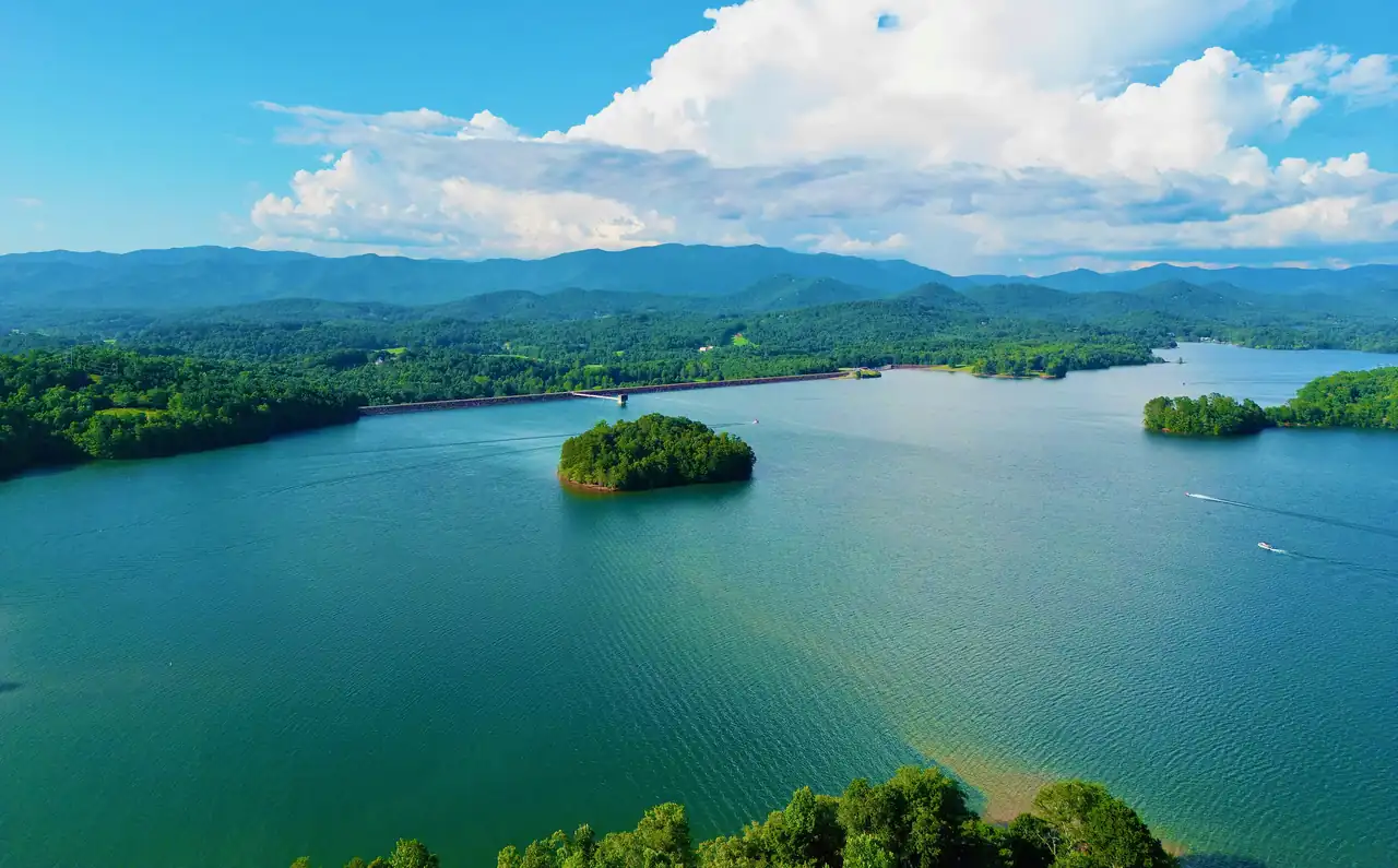
Drone view over wide blue-green lake water toward a small round wooded island, a long straight dam line on the far shore and layered forested mountains under big white cumulus clouds.
Photograph Lake Chatuge reservoir in Towns County, Georgia, and Clay County, North Carolina on Aug. 3, 2022 by Harrison Keely, licensed under CC BY 4.0, via Wikimedia Commons. Resized for this site.
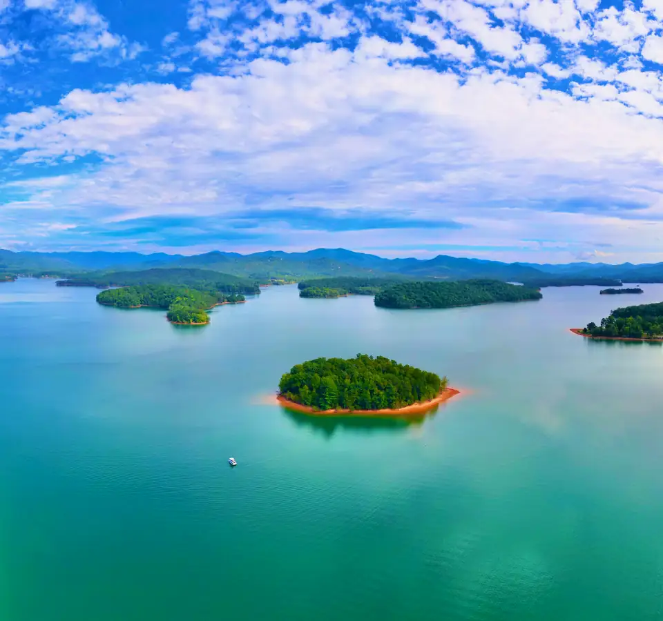
Drone view over turquoise lake water toward a small round island with an orange clay shoreline, more wooded islands and a mountain horizon beneath a sky full of white clouds.
Photograph Chatuge Reservoir in Clay County, North Carolina by Harrison Keely, licensed under CC BY 4.0, via Wikimedia Commons. Resized for this site.
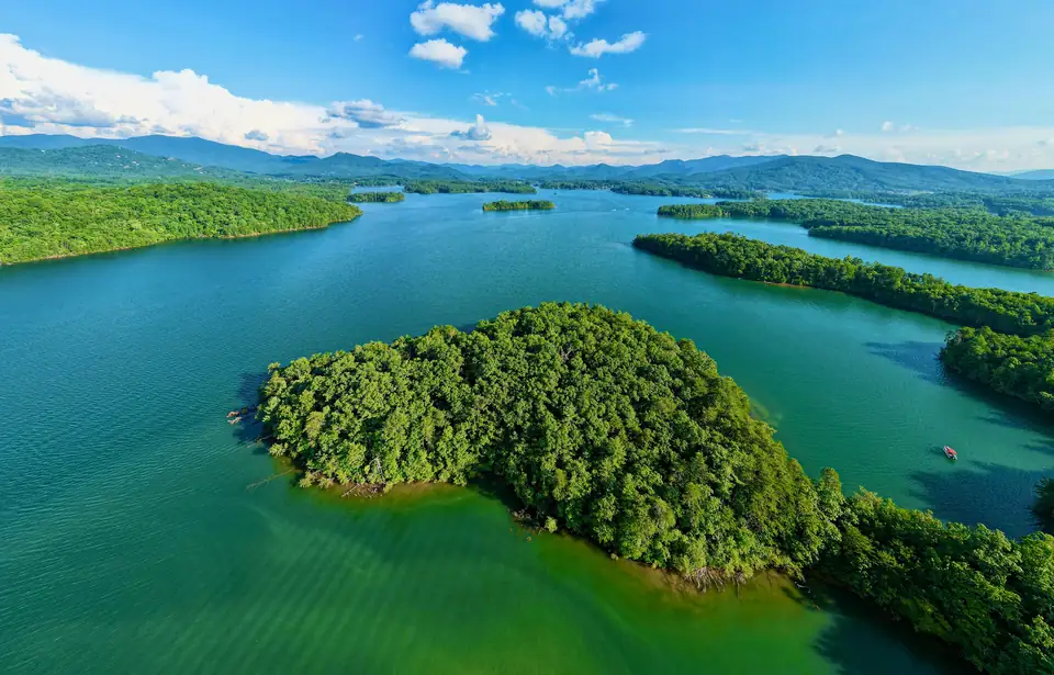
Drone view of a large tree-covered island in green, clear shallows with long arms of the lake and wooded peninsulas stretching toward a line of blue mountains under scattered clouds.
Photograph Lake Chatuge reservoir in North Carolina and North Georgia by Harrison Keely, licensed under CC BY 4.0, via Wikimedia Commons. Resized for this site.
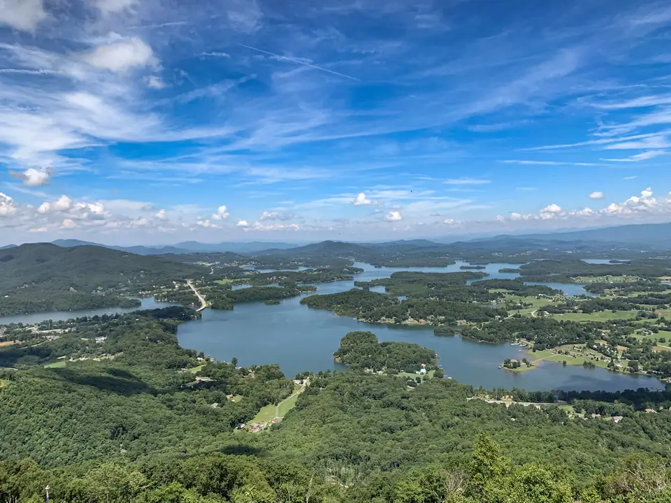
High overlook view down onto a winding blue lake with many coves and islands in a green, forested valley, with rolling ridges on the horizon under a blue sky streaked with wispy clouds.
Photograph Overlook from Bell Mountain (48154524746) by Han Zheng, licensed under CC BY-SA 2.0, via Wikimedia Commons. Resized for this site.
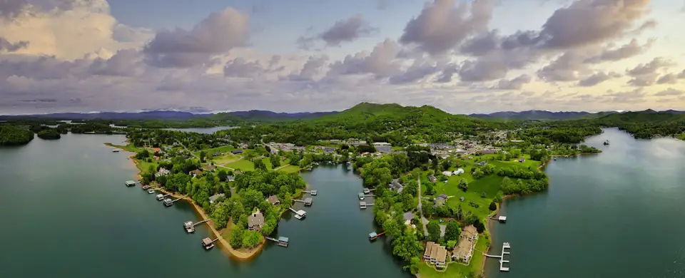
Wide drone panorama of two green peninsulas lined with boat docks and lakeside homes reaching into calm dark water, with the town and a rounded mountain behind under a pastel, cloud-filled sky.
Photograph Hiawassee, Georgia in Towns County – aerial photo 04 by Harrison Keely, licensed under CC BY 4.0, via Wikimedia Commons. Resized for this site.
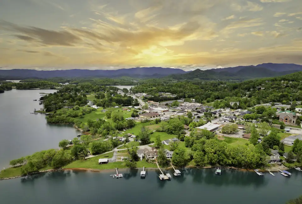
Drone view across a lake to a shoreline of lawns and houses with a row of small boat docks, the town behind and blue mountains on the horizon under a golden, streaky sky.
Photograph Hiawassee, Georgia in Towns County – aerial photo 12 by Harrison Keely, licensed under CC BY 4.0, via Wikimedia Commons. Resized for this site.
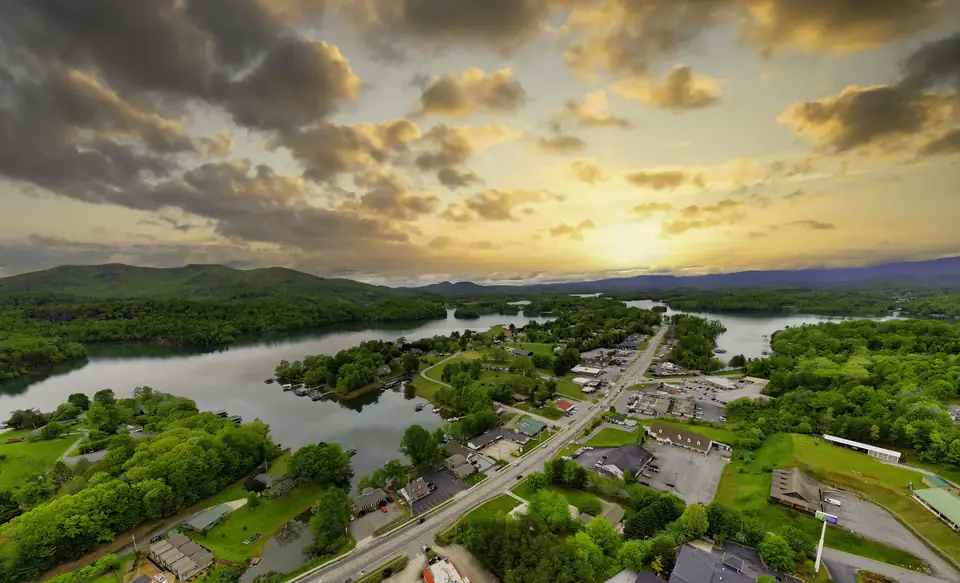
Drone view down a highway through a small town of commercial buildings and parking lots between arms of a lake, beneath a dramatic golden sunset sky with dark clouds.
Photograph Hiawassee, Georgia in Towns County – aerial photo 10 by Harrison Keely, licensed under CC BY 4.0, via Wikimedia Commons. Resized for this site.
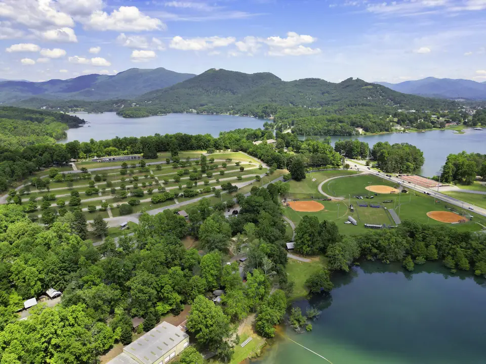
Drone view over a tree-dotted field of campsites and three ballfields with orange infields beside a lake, with wooded mountains and more lake behind under a blue sky with small clouds.
Photograph The Georgia Mountain Fairgrounds in Hiawassee, Georgia, near Lake Chatuge 01 by Harrison Keely, licensed under CC BY 4.0, via Wikimedia Commons. Resized for this site.
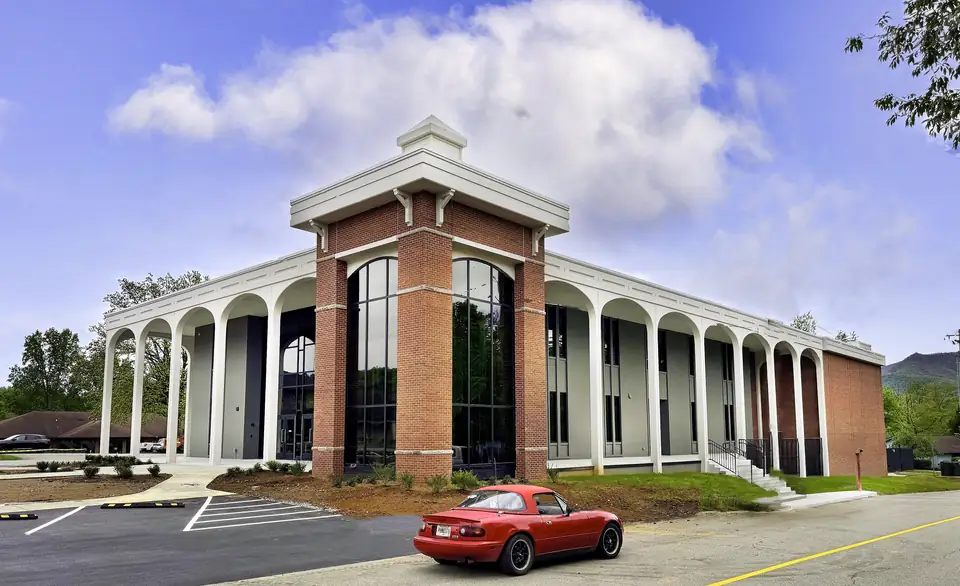
A modern brick-and-white courthouse with tall arched colonnades and a glass entry tower under a blue sky with puffy clouds, with a red convertible sports car parked in the foreground lot.
Photograph The Towns County Courthouse in downtown Hiawassee, Georgia, US 04 by Harrison Keely, licensed under CC BY 4.0, via Wikimedia Commons. Resized for this site.
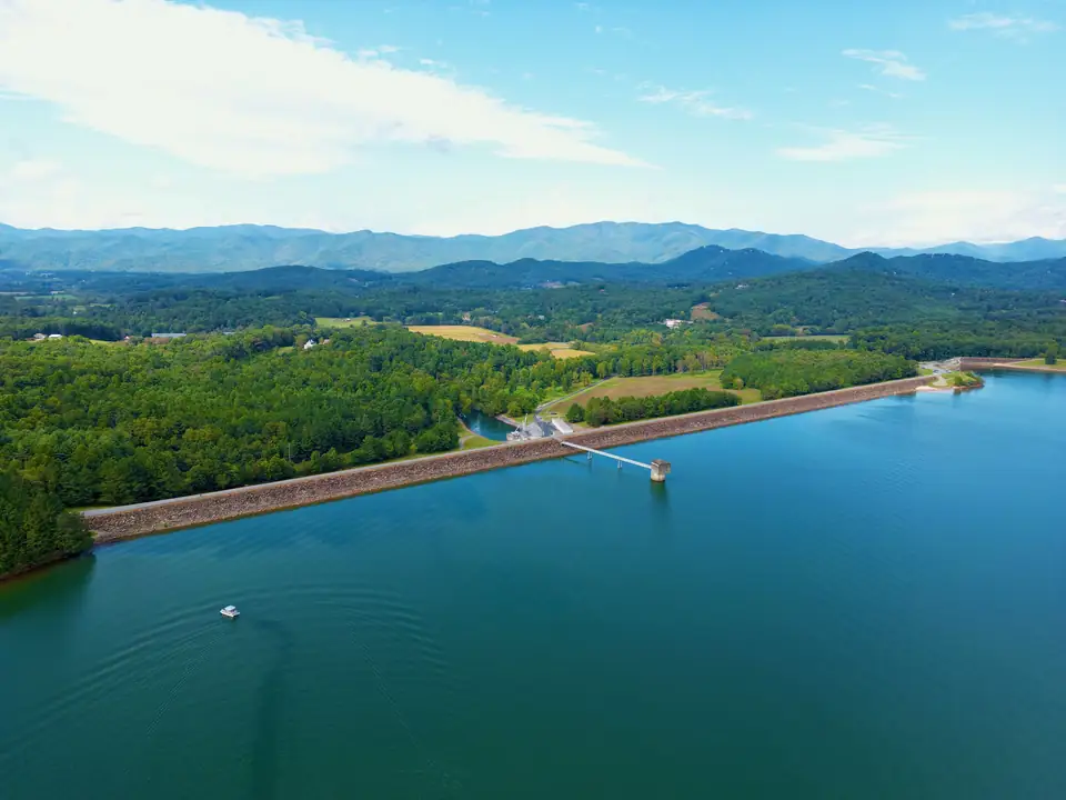
Drone view across deep blue lake water to a long rock-faced earthen dam with an intake tower and walkway, a small boat in the foreground and layered blue mountains on the horizon.
Photograph Chatuge Dam contains Chatuge Reservoir in Clay County, N.C. on Sep. 25, 2022 by Harrison Keely, licensed under CC BY 4.0, via Wikimedia Commons. Resized for this site.
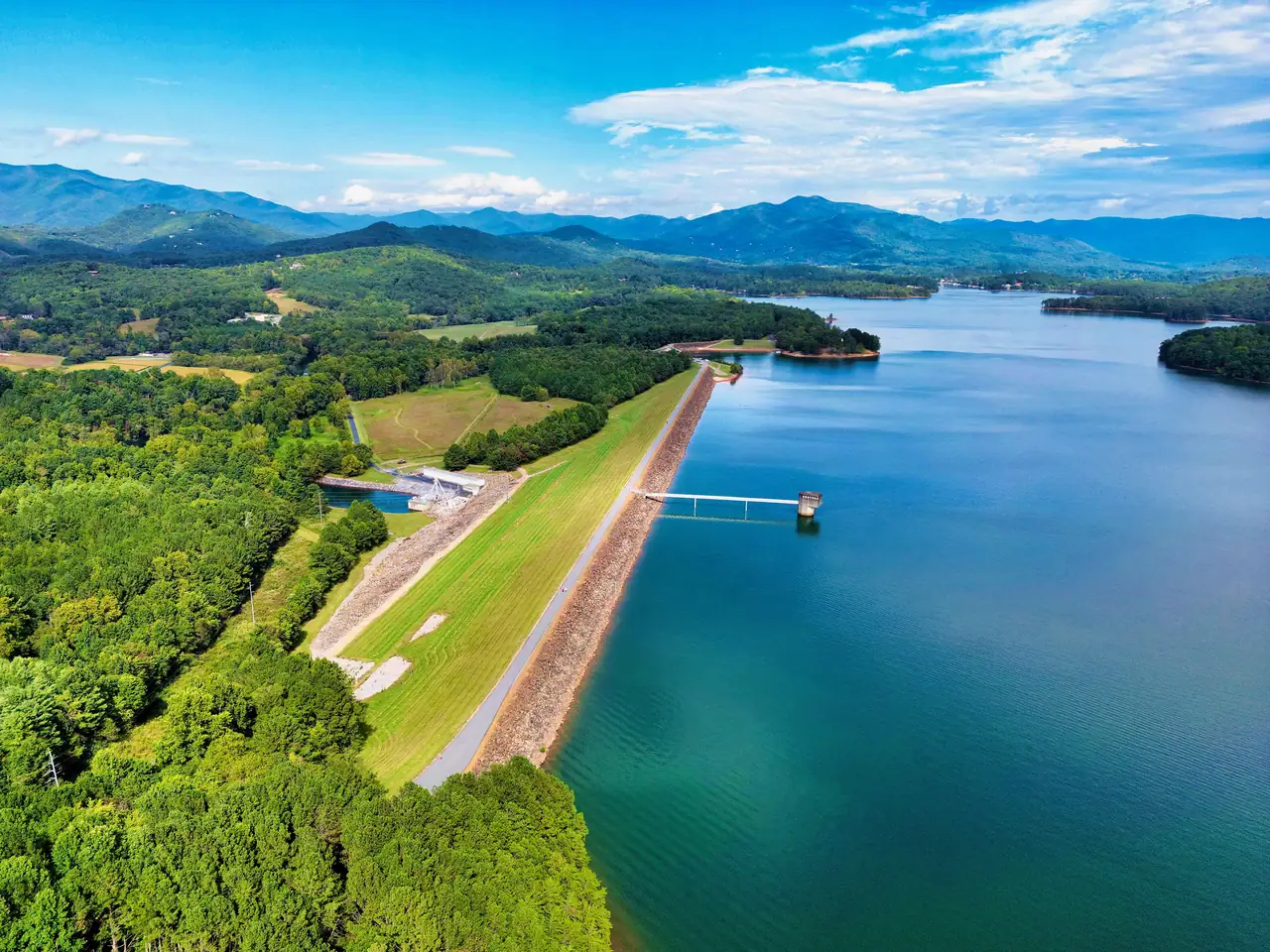
Drone view along the grassy, rock-armored crest of an earthen dam with a road on top and an intake tower walkway, deep blue reservoir on the right and green forest and mountains beyond.
Photograph Chatuge Dam is an earthen embankment dam in North Carolina, United States by Harrison Keely, licensed under CC BY 4.0, via Wikimedia Commons. Resized for this site.
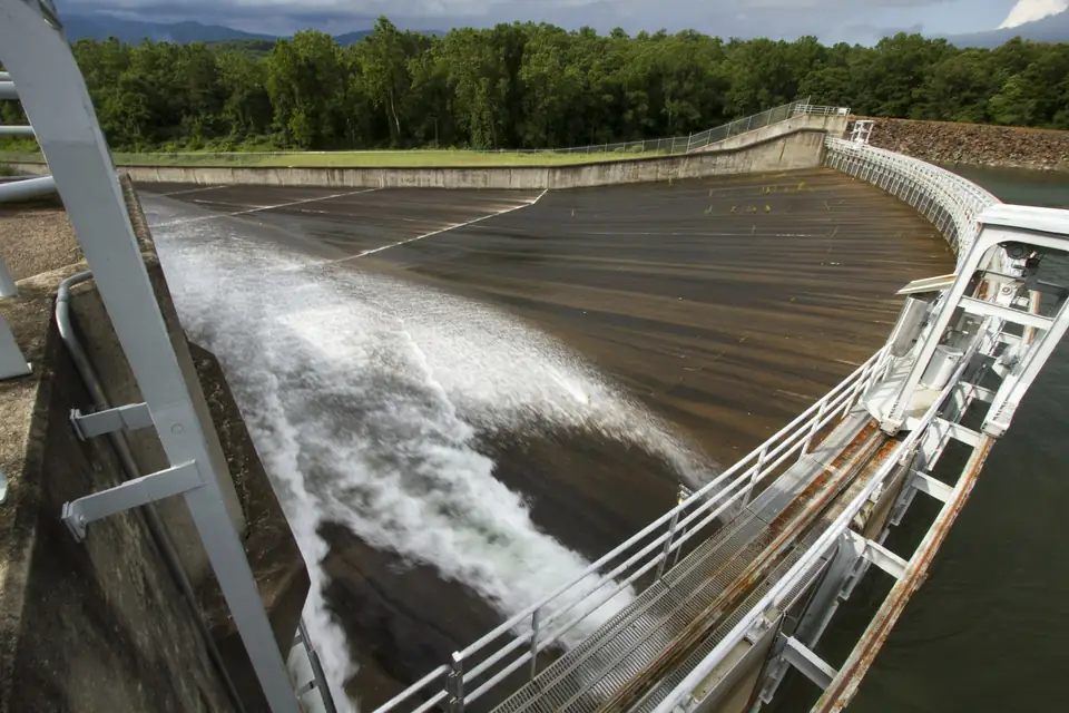
Water rushes in white streaks down a wide, curved concrete spillway chute beside a white steel catwalk railing, with forest and a dark, cloudy sky beyond.
Photograph Chatuge Dam 001 by TVA Web Team (Tennessee Valley Authority), licensed under CC BY 2.0, via Wikimedia Commons. Resized for this site.
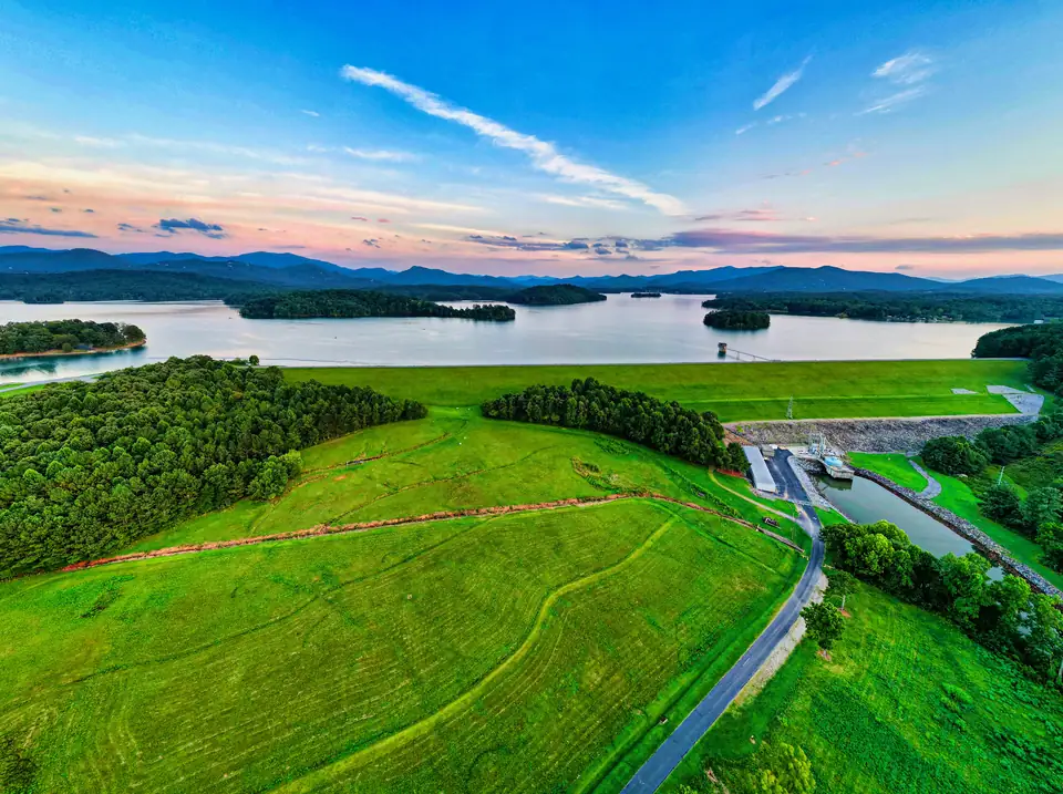
Drone view over the bright green, mowed downstream face of an earthen dam with a road and small powerhouse below, the lake and islands beyond and a pink-and-blue evening sky.
Photograph Chatuge Dam in Clay County, N.C by Harrison Keely, licensed under CC BY 4.0, via Wikimedia Commons. Resized for this site.
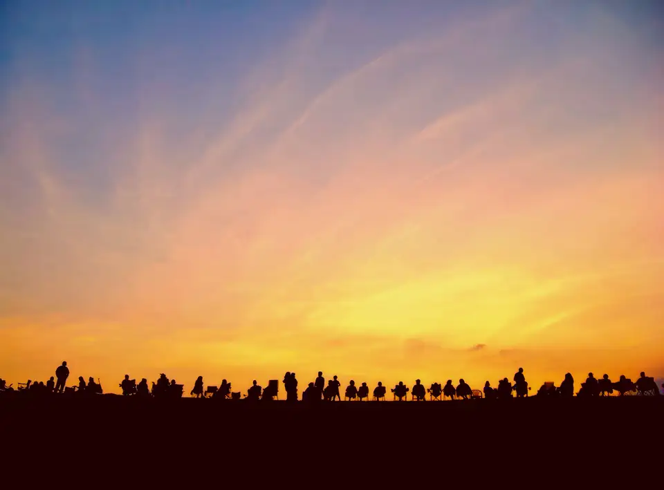
Silhouettes of a long row of people in lawn chairs along a flat ridge line against a vivid orange and pink sunset sky.
Photograph People claim seats atop Chatuge Dam to view Independence Day fireworks in Clay County, North Carolina by Harrison Keely, licensed under CC BY 4.0, via Wikimedia Commons. Resized for this site.
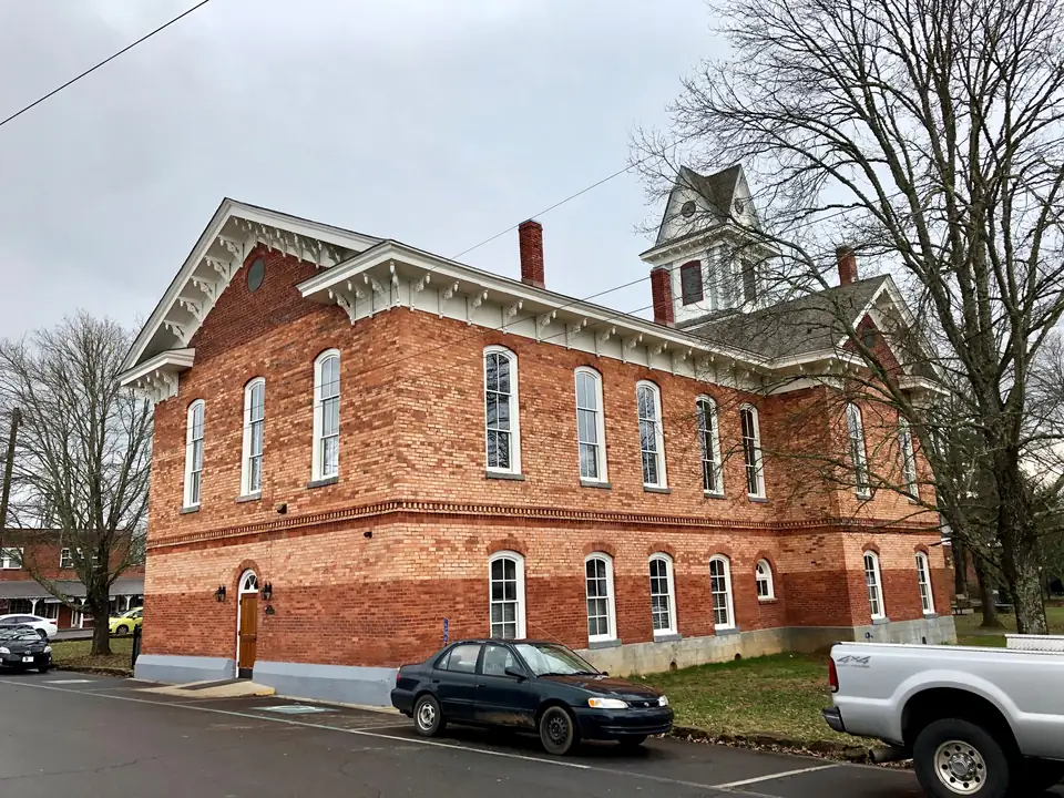
A two-story red-brick Italianate building with tall arched white windows, ornate white eaves and a small cupola, framed by bare winter trees, with a sedan and pickup parked in front under an overcast sky.
Photograph Clay County Courthouse, Hayesville, NC (31754495127) by Warren LeMay, licensed under CC0 1.0, via Wikimedia Commons. Resized for this site.
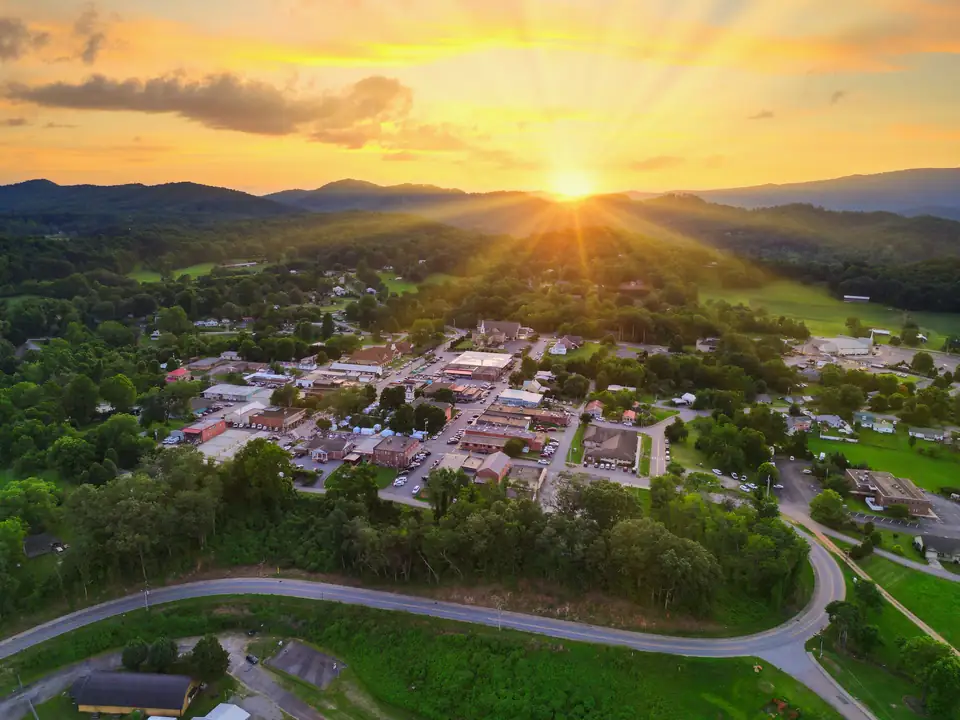
Drone view over a small town grid of shops and parking around a square, ringed by green hills and a curving road, with the sun setting behind mountains and rays spreading across a golden sky.
Photograph Downtown Hayesville, North Carolina, on July 7, 2023 by Harrison Keely, licensed under CC BY 4.0, via Wikimedia Commons. Resized for this site.
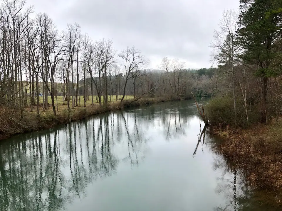
A calm, wide river reflects a row of tall bare trees along its left bank under a grey sky, with brushy banks and a pine on the right.
Photograph Hiwassee River, Hayesville, NC (46696059831) by Warren LeMay, licensed under CC0 1.0, via Wikimedia Commons. Resized for this site.
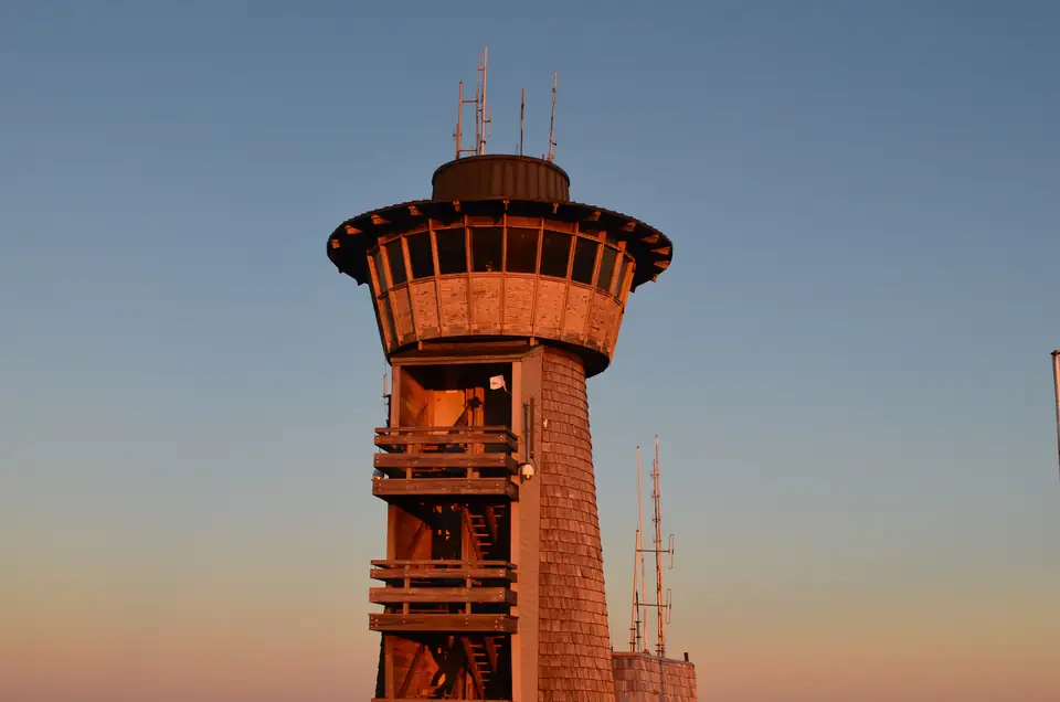
A shingled lookout tower with a wraparound windowed top and antennas on the roof glows orange in low sun against a clear dusk sky.
Photograph Brasstown Bald Viewing Tower by Anthony Rizzo, licensed under CC BY-SA 4.0, via Wikimedia Commons. Resized for this site.
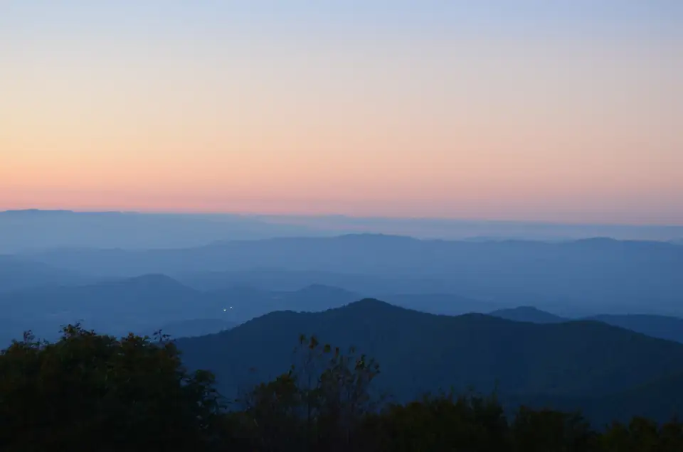
Layer after layer of blue mountain ridges fade toward the horizon under a peach-to-blue twilight sky, with dark treetops in the foreground.
Photograph Mountain Top Sunset View (Brasstown Bald, GA) by Anthony Rizzo, licensed under CC BY-SA 4.0, via Wikimedia Commons. Resized for this site.
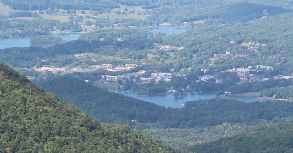
Hazy telephoto view from a mountainside down onto a small town spread among wooded hills, with fingers of lake water winding through the valley.
Photograph Hiawassee, Georgia viewed from Brasstown Bald by Thomson200, licensed under CC0 1.0, via Wikimedia Commons. Resized for this site.
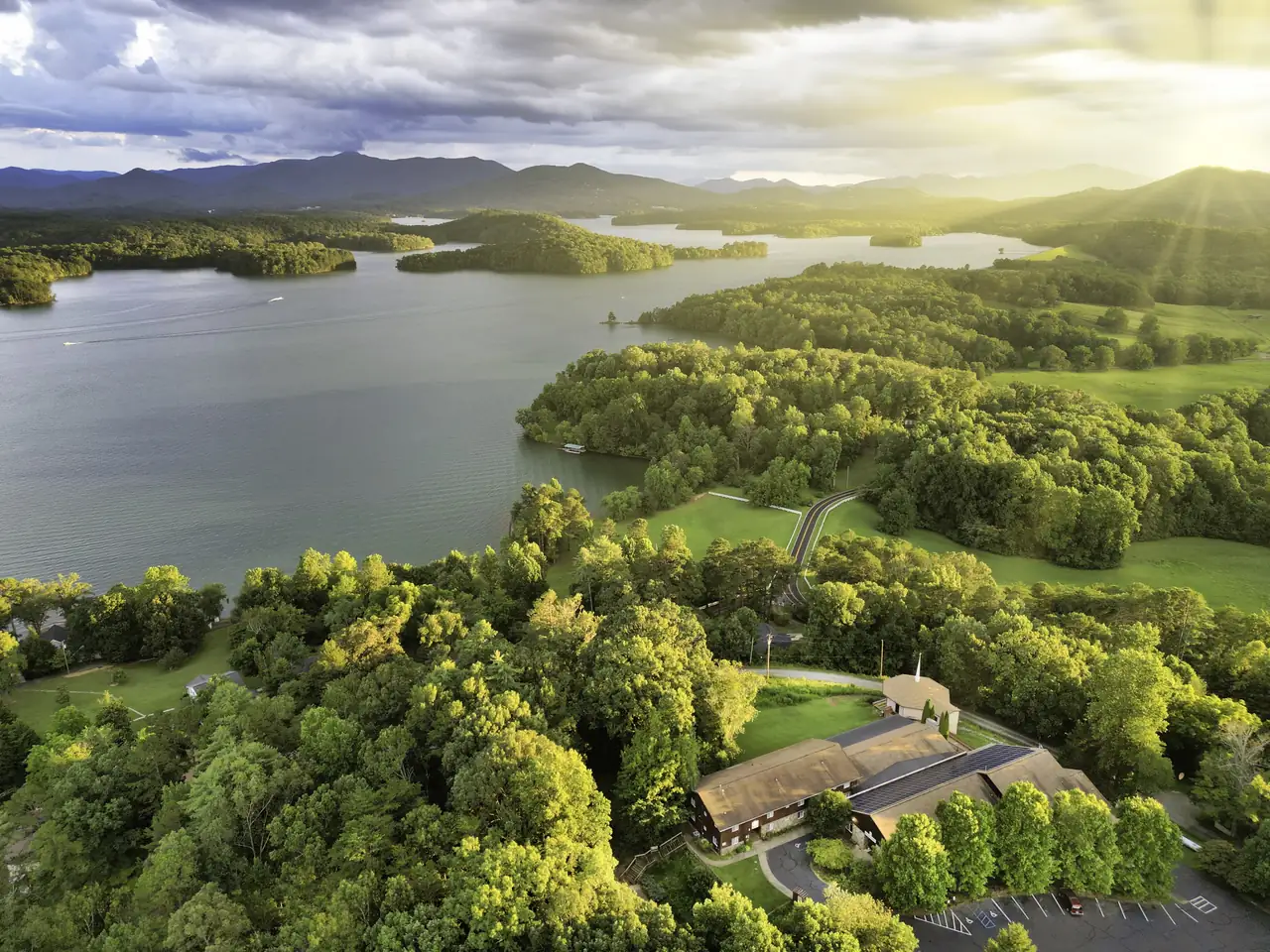
Golden-hour drone view over sunlit treetops and a lakeside lodge-style building, looking across a broad lake with wooded islands and peninsulas to mountains, with sun rays breaking through clouds at upper right.
Photograph Hinton Rural Life Center on Chatuge Lake in Clay County, NC by Harrison Keely, licensed under CC BY 4.0, via Wikimedia Commons. Resized for this site.
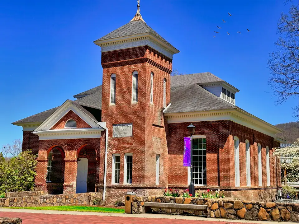
A red-brick chapel with a square tower, arched entry and tall white-trimmed windows stands behind a stone wall and brick walk under a deep blue sky, with geese flying overhead.
Photograph Susan B. Harris Chapel at Young Harris College in Young Harris, Ga by Harrison Keely, licensed under CC BY 4.0, via Wikimedia Commons. Resized for this site.
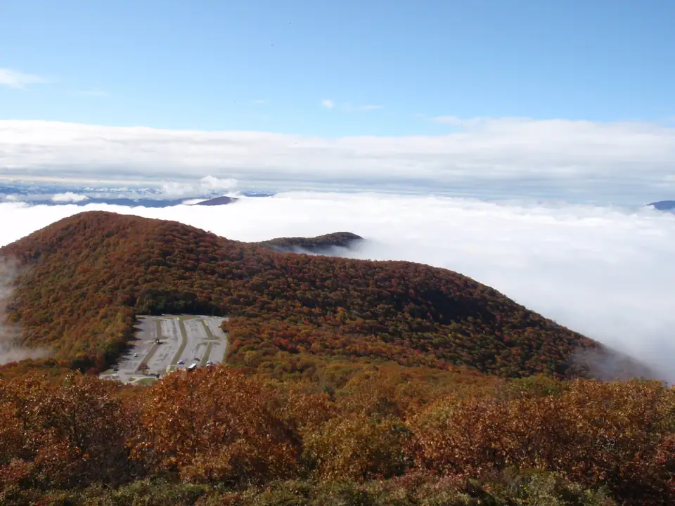
Looking down from a summit over russet and orange autumn forest to a parking lot on a ridge, with a sea of white clouds filling the valleys and a blue sky above.
Photograph Brasstown Bald Visitor Center (Flickr photo 6241570630) by ChattOconeeNF (USDA Forest Service, Chattahoochee-Oconee National Forests), licensed under CC BY 2.0, via Wikimedia Commons. Resized for this site.
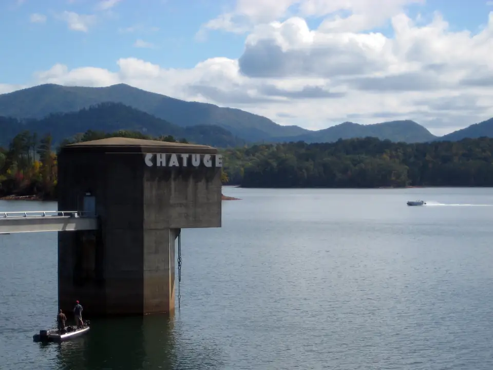
A concrete intake tower lettered CHATUGE stands in the lake beside a walkway, with two anglers in a small boat at its base, a speedboat on the water and forested mountains with a few early fall tints under white clouds.
Photograph chatuge (Flickr photo 2935349510) by keone, licensed under CC BY-SA 2.0, via Wikimedia Commons. Resized for this site.


Video
- Hero film: a 23-second loop of slow camera moves and dissolves across 6 real photographs credited on this page (Harrison Keely (CC BY 4.0); Han Zheng (CC BY-SA 2.0)). Nothing in it is generated. Because some sources are CC BY-SA, the film is offered under CC BY-SA 4.0.
Map
- Map drawn for this site from OpenStreetMap data (© OpenStreetMap contributors, ODbL). Pin locations come from each place's cited source.